Chapter 1: Land, Nile, and Historical Framework
Egypt in Deep Time
Ancient Egypt develops along the lower Nile in northeastern Africa.
Chronological Framework
- Predynastic (before 3100 BCE)
- Early Dynastic
- Old, Middle, New Kingdoms
- Late Period and foreign rule
> Think in millennia, not centuries.
Egypt’s stability rests on the Nile’s cycles, surplus agriculture, and centralized kingship, making it one of the longest-lasting complex societies.
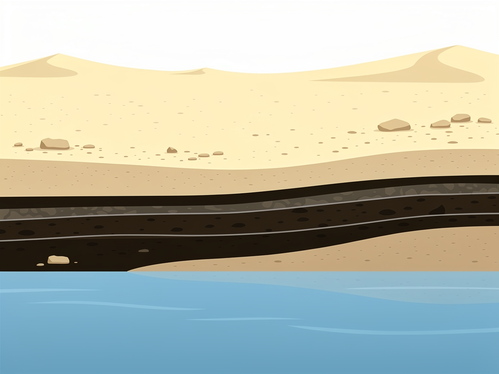
The Nile as Environmental Engine 🌊
Key Features
- Predictable annual inundation
- Fertile silt deposition
- Natural transport corridor
These conditions reduce climatic risk and enable intensive agriculture.
Egyptians conceptualize the land as:
- Kemet: the black, fertile soil
- Deshret: the red, desert land
This duality shapes religious, political, and artistic symbolism.
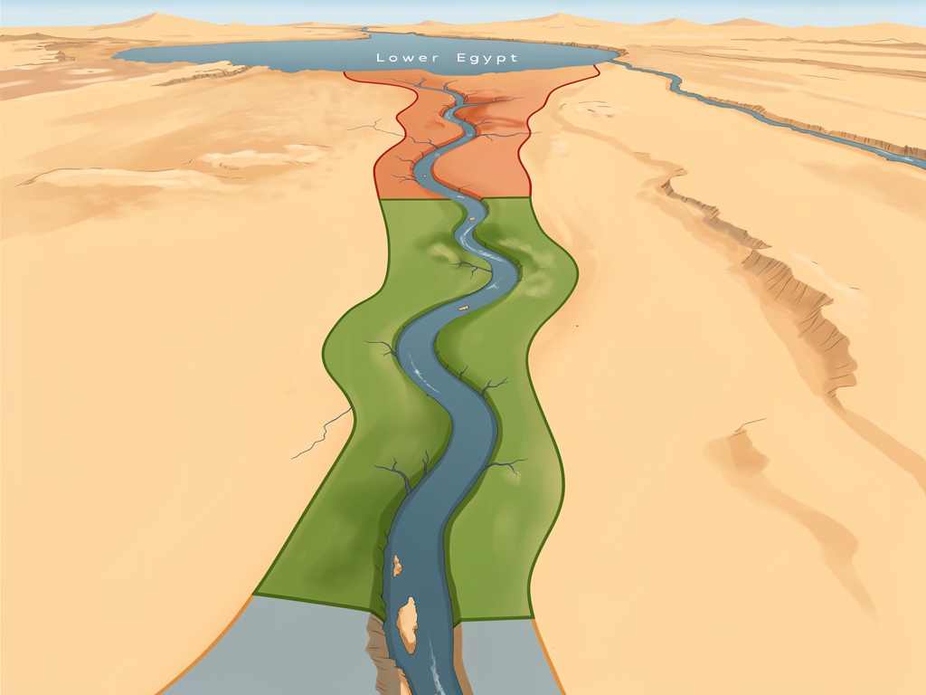
Upper and Lower Egypt
Geographically, Upper Egypt is the southern, upstream stretch; Lower Egypt is the northern Delta.
Unification under Narmer (c. 3100 BCE) creates a single kingdom.
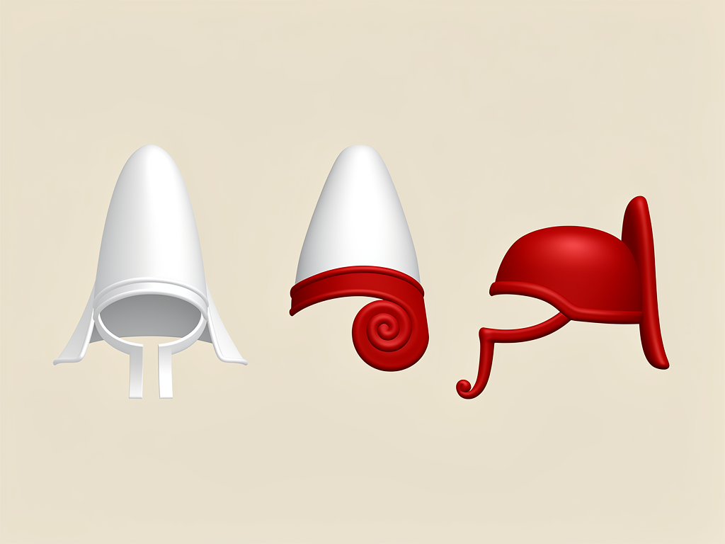
Symbols:
- White crown: Upper Egypt
- Red crown: Lower Egypt
- Double crown: unified kingship
This political synthesis becomes foundational to Egyptian identity and royal ideology.
Sources and Evidence
Our knowledge comes from:
- Archaeology: tombs, settlements, temples
- Inscriptions: hieroglyphic and hieratic texts
- Greek and Roman authors (Herodotus, etc.)
Each source is biased and fragmentary. Archaeology favors elites; papyri rarely survive.
Historians must cross-check material, textual, and environmental data to reconstruct Egyptian society critically.
💡 This is just Chapter 1. The full content with all chapters, interactive quizzes, and progress tracking is available in the Octo AI app.